
📄 Exam Questions & Readable Text Transcript
Full OCR-extracted text of questions, syllabus codes, and exam instructions.
Extracted Content: 2016_geo_alevel_mj_paper1
Page 1
Extracted Text
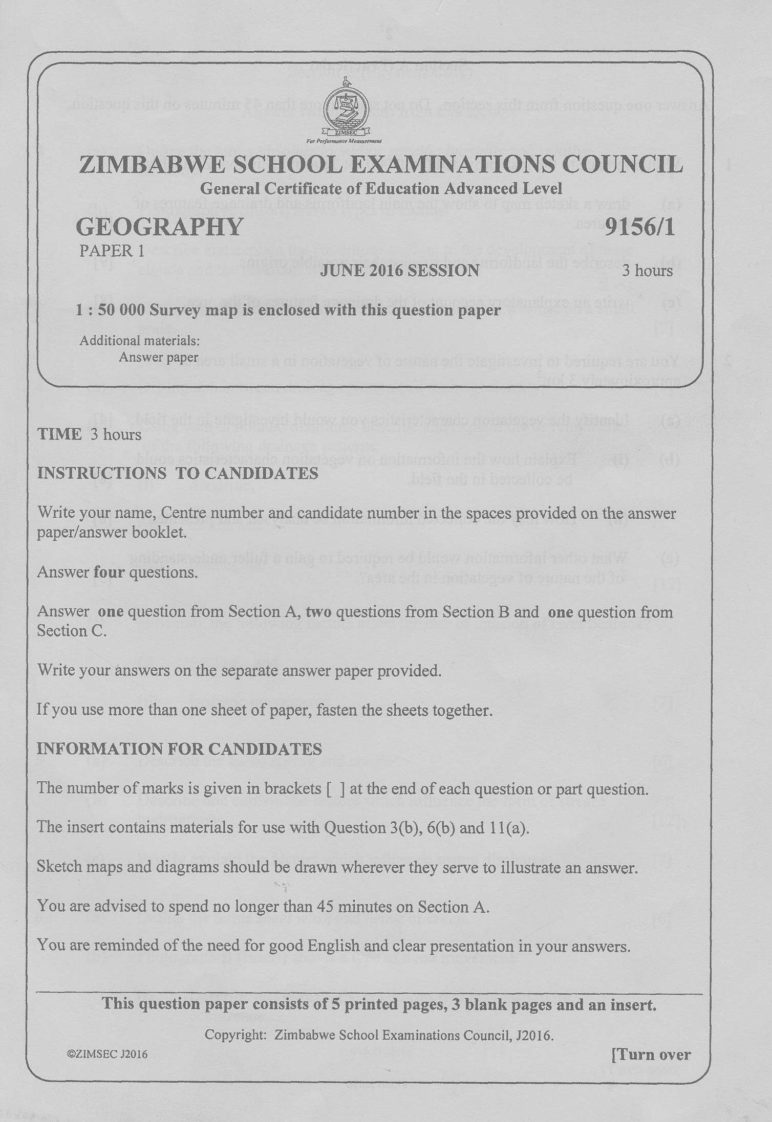
er Performance MeasurementZIMBABWE SCHOOL EXAMINATIONS COUNCIL
General Certificate of Education Advanced Level
GEOGRAPHY 9156/1
PAPER 1
JUNE 2016 SESSION 3 hours
1:50 000 Survey map is enclosed with this question paper
Additional materials:
Answer paper
TIME 3 hours
INSTRUCTIONS TO CANDIDATES
Write your name, Centre number and candidate number in the spaces provided on the answer
paper/answer booklet.
Answer four questions.
Answer one question from Section A, two questions from Section B and one question from
Section C.
Write your answers on the separate answer paper provided.
If you use more than one sheet of paper, fasten the sheets together.
INFORMATION FOR CANDIDATES
The number of marks is given in brackets [ ] at the end of each question or part question.
The insert contains materials for use with Question 3(b), 6(b) and 11(a).
Sketch maps and diagrams should be drawn wherever they serve to illustrate an answer.
You are advised to spend no longer than 45 minutes on Section A.
You are reminded of the need for good English and clear presentation in your answers.
This question paper consists of 5 printed pages, 3 blank pages and an insert,
Copyright: Zimbabwe School Examinations Council, J2016.
©ZIMSEC 32016 [Turn over
---
Page 2
Extracted Text
2 Section A (Practicals)Answer one question from this section. Do not spend more than 45 minutes on this question.
With reference to the map provided (1:50 000, St Triashill Mission, Zimbabwe),
(a) draw a sketch map to show the main landforms and drainage features of
the area. [8]
(b) describe the landforms and suggest their possible origins. {9}
(c) __ write an explanatory account of the drainage features of the area. [8]
You are required to investigate the nature of vegetation in a small area of -
approximately 3 km’.
(a) Identify the vegetation characteristics you would investigate in the field. [4]
(b) @ Explain how the information on vegetation characteristics could
be collected in the field. [8]
(ii) | How may the collected information be analysed and presented? [8]
(c) | What other information would be required to gain a fuller understanding
of the nature of vegetation in the area? {5]
9156/1 J2016
---
Page 3
Extracted Text
(a)(b)
(a)
(b)
9)
{a)
(b)
(a)
(b)
3
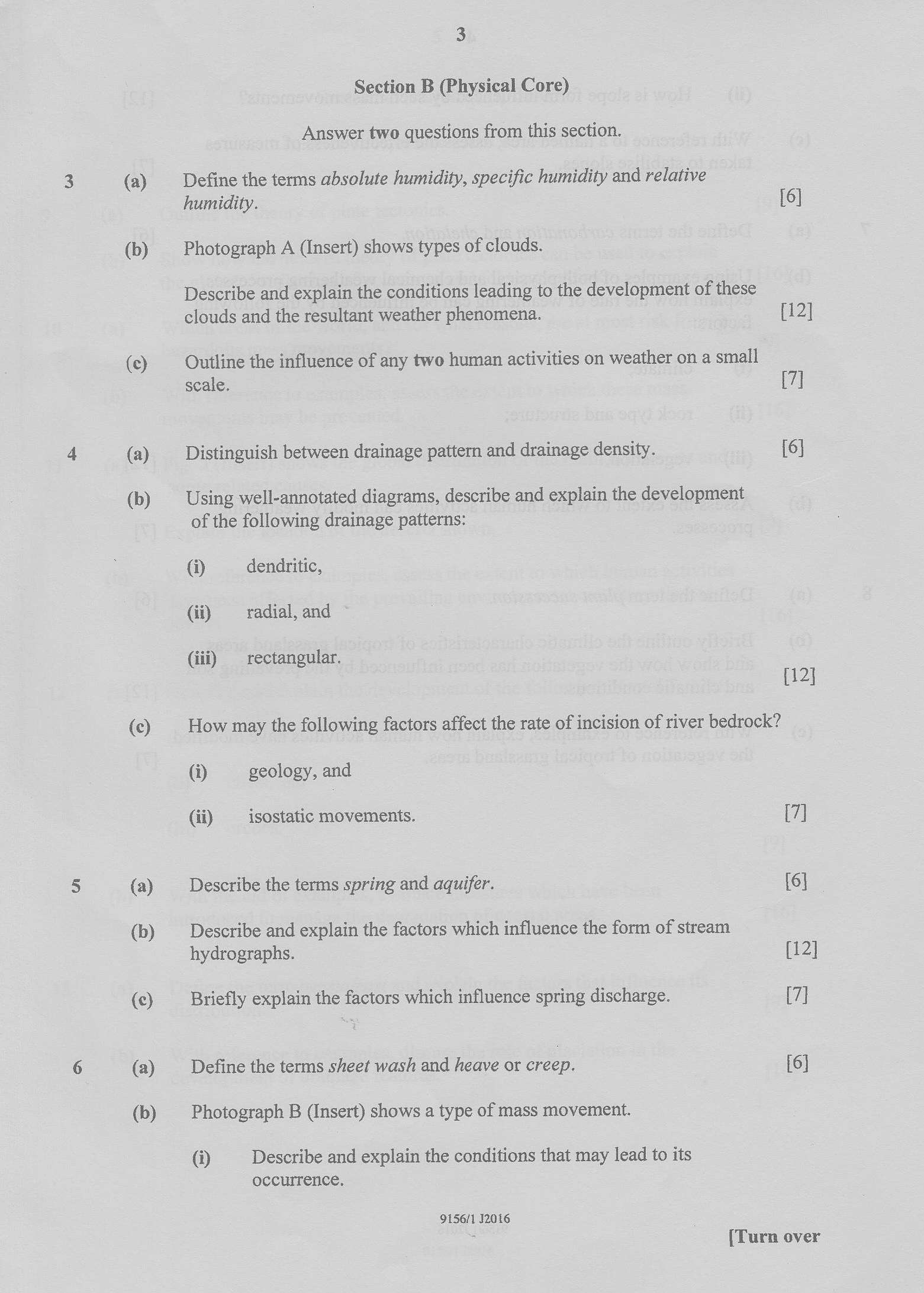
Section B (Physical Core)
Answer two questions from this section.
Define the terms absolute humidity, specific humidity and relative
humidity. [6]
Photograph A (Insert) shows types of clouds.
Describe and explain the conditions leading to the development of these
clouds and the resultant weather phenomena. [12]
Outline the influence of any two human activities on weather on a small
scale. {7]
Distinguish between drainage pattern and drainage density. [6]
Using well-annotated diagrams, describe and explain the development
of the following drainage patterns:
@ dendritic,
(i) radial, and
(iii) _ rectangular.
{12]
How may the following factors affect the rate of incision of river bedrock?
(i) geology, and
(ii) _ isostatic movements. [7]
Describe the terms spring and aquifer. {6}
Describe and explain the factors which influence the form of stream
hydrographs. {12]
Briefly explain the factors which influence spring discharge. {7]
Define the terms sheet wash and heave or creep. {6}
Photograph B (Insert) shows a type of mass movement.
@ Describe and explain the conditions that may lead to its
occurrence,
9156/1 12016
[Turn over
---
Page 4
Extracted Text
(a) (b)(b)
(a)
(b)
3)
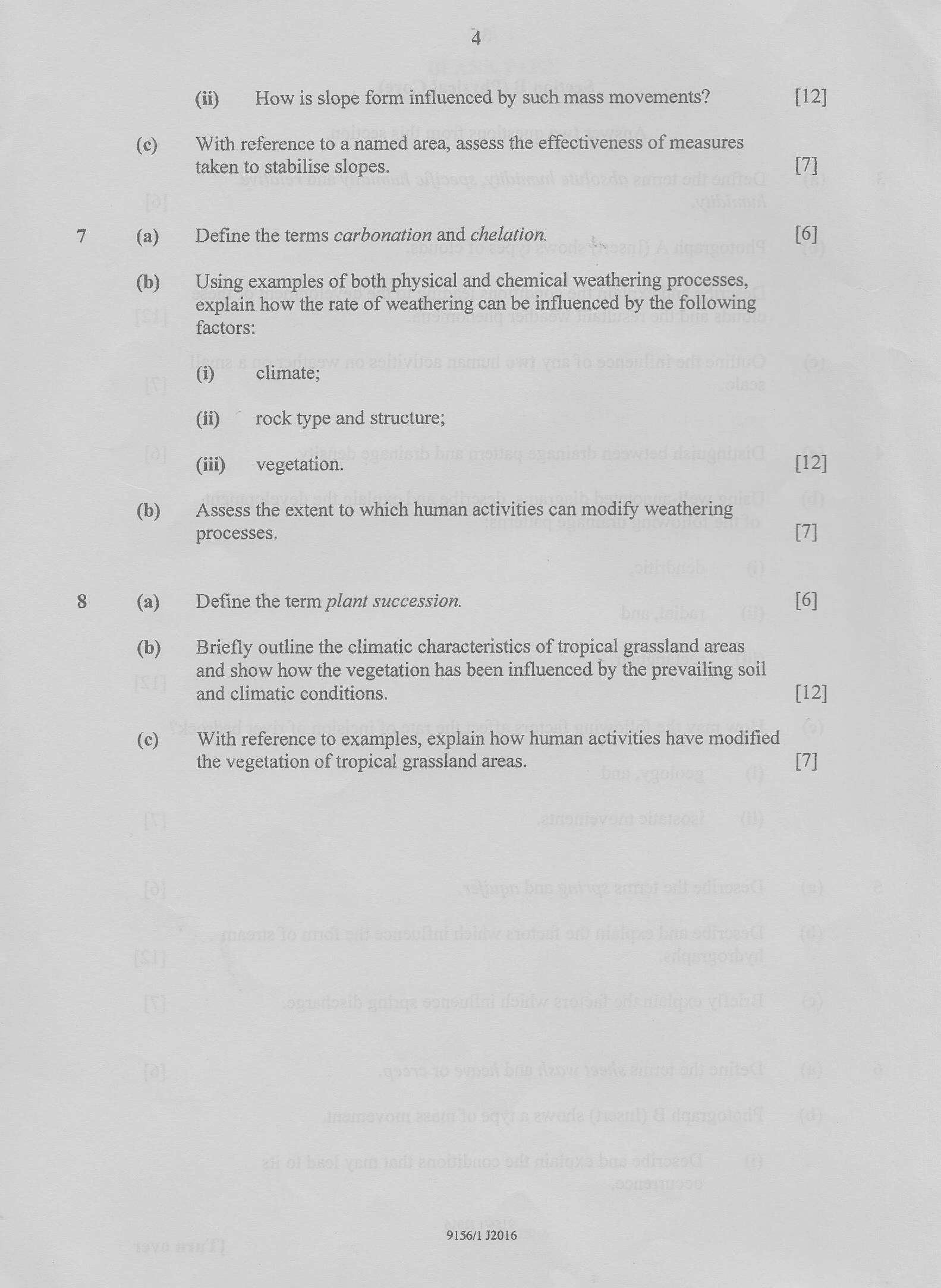
(ii) | How is slope form influenced by such mass movements?
With reference to a named area, assess the effectiveness of measures
taken to stabilise slopes.
Define the terms carbonation and chelation.
Using examples of both physical and chemical weathering processes,
explain how the rate of weathering can be influenced by the following
factors:
@ climate;
(ii) "rock type and structure;
(iii) —_- vegetation.
Assess the extent to which human activities can modify weathering
processes.
Define the term plant succession.
Briefly outline the climatic characteristics of tropical grassland areas
and show how the vegetation has been influenced by the prevailing soil
and climatic conditions.
With reference to examples, explain how human activities have modified
the vegetation of tropical grassland areas.
9156/1 32016
[12]
(7
[6]
[12]
[7]
[6]
[12]
[7]
---
Page 5
Extracted Text
1011
12
13
(a)
(b)
(a)
(b)
(a)
(b)
(a)
(b)
(a)
(b)
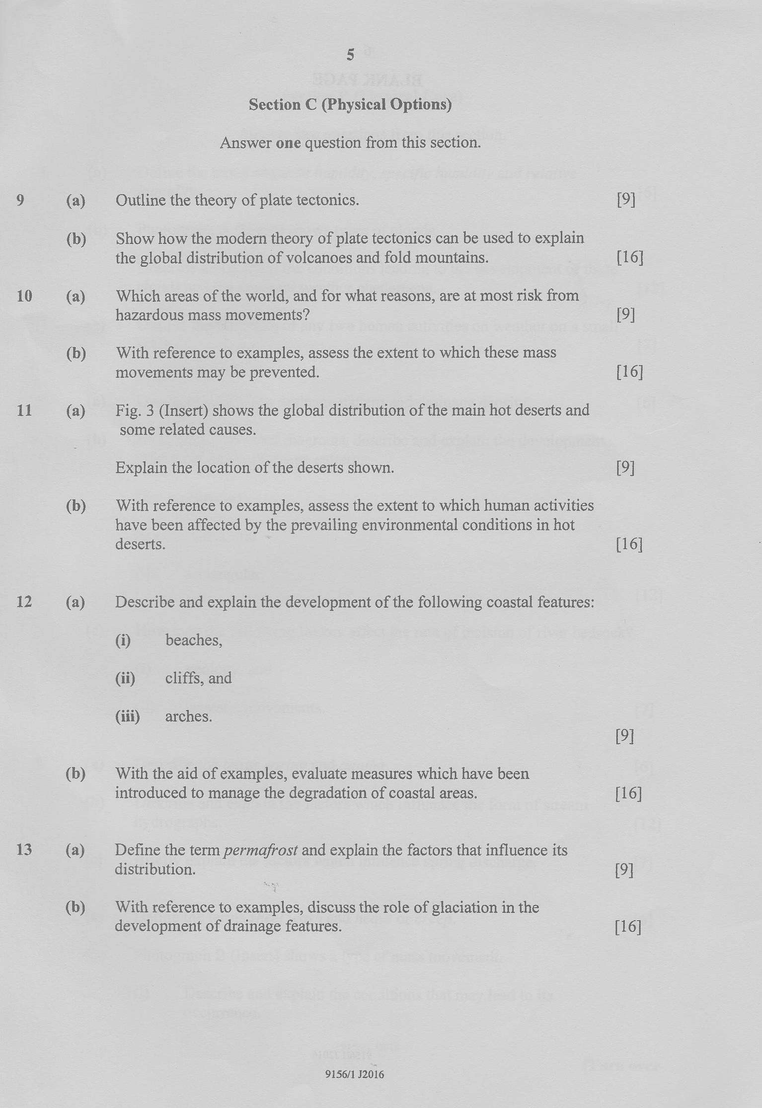
Section C (Physical Options)
Answer one question from this section.
Outline the theory of plate tectonics.
Show how the modern theory of plate tectonics can be used to explain
the global distribution of volcanoes and fold mountains.
Which areas of the world, and for what reasons, are at most risk from
hazardous mass movements?
With reference to examples, assess the extent to which these mass
movements may be prevented.
Fig. 3 (Insert) shows the global distribution of the main hot deserts and
some related causes.
Explain the location of the deserts shown.
With reference to examples, assess the extent to which human activities
have been affected by the prevailing environmental conditions in hot
deserts.
Describe and explain the development of the following coastal features:
(i) beaches,
Gi) cliffs, and
(iii) arches.
With the aid of examples, evaluate measures which have been
introduced to manage the degradation of coastal areas.
Define the term permafrost and explain the factors that influence its
distribution.
With reference to examples, discuss the role of glaciation in the
development of drainage features.
9156/1 52016
[9]
[16]
[9]
[16]
19]
[16]
19]
[16]
{9]
[16]
---
Struggling with the concepts in this paper?
Revise syllabus notes, key exam points, and interactive practice questions for Geography: